Virginia City, Nevada |
|
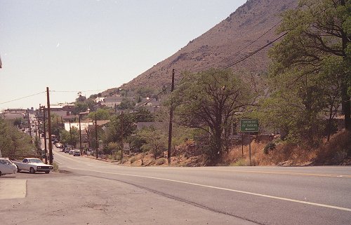
Looking south, down C Street from the north end of town; Mt. Davidson is at the right. The right side of C Street (the upper or east side) was the town's primary residential area during Mark Twain's time. The town's industrial and mining areas were to the left. The town's sole
gas station is at the left in the foreground. The green side points
to the RV Park. C Street is at the same altitude as the surface
of Lake Tahoe, whose northeast shore is 16 miles to the southwest. |